01 / The field survey story
A hidden depression in the heart of the forest
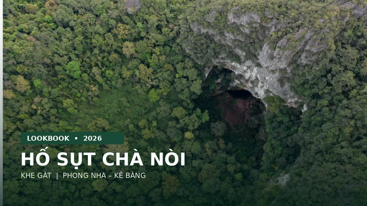
A karst sinkhole was recorded in the Cha Noi – Khe Gat area. Its opening is approximately oval, its limestone walls are irregular, and the space below widens. The principal field survey took place in July 2025; the findings were published by the Phong Nha – Ke Bang National Park Management Board on 23 October 2026.
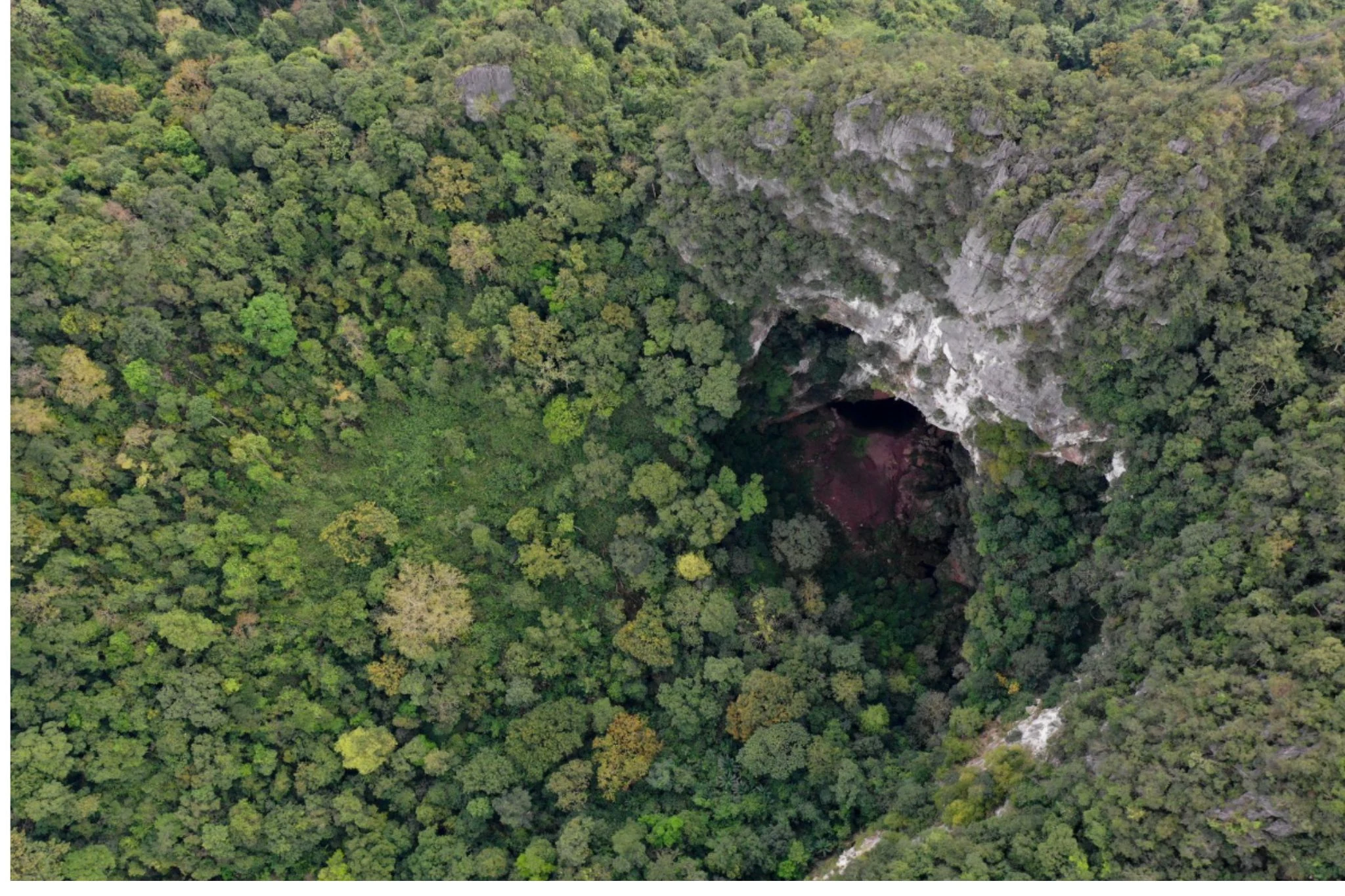
An aerial view of the forest sinkhole
View from above
A deep depression breaks the otherwise continuous forest canopy, with exposed limestone visible along its rim. This is a field photograph showing the actual landscape, not a reconstruction.
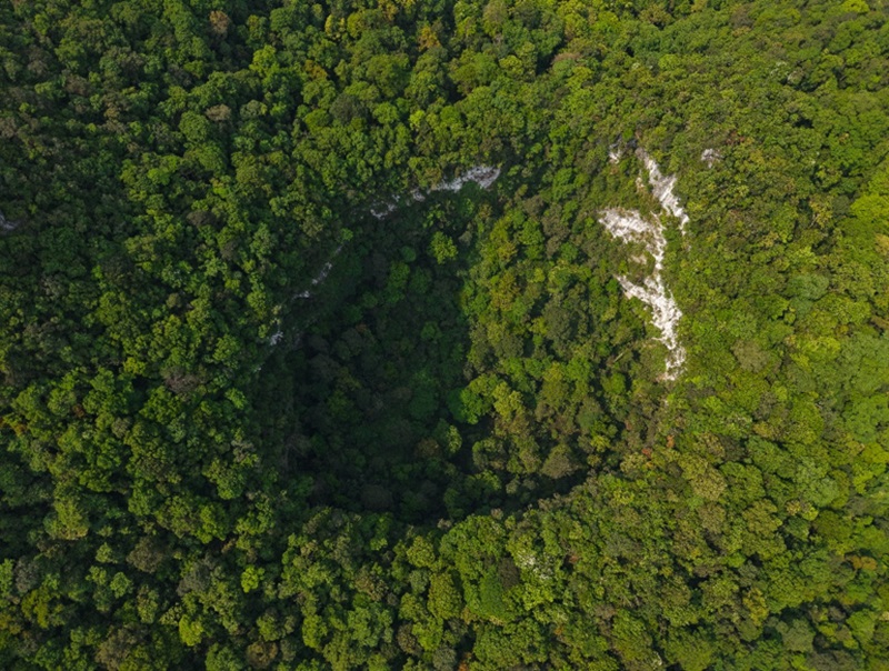
The shape of the sinkhole opening
Drone photography · Karst landscape
From above, the opening has an irregular outline amid the tree canopy. Pale limestone outcrops contrast sharply with the surrounding green vegetation.
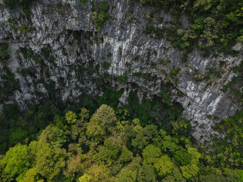
Limestone cliffs and forest canopy
Inside the sinkhole
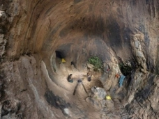
The rugged limestone walls feature ledges and weathered recesses, while trees grow along the foot of the cliffs. The photograph provides a visual reference for assessing a conceptual cross-section of the sinkhole.
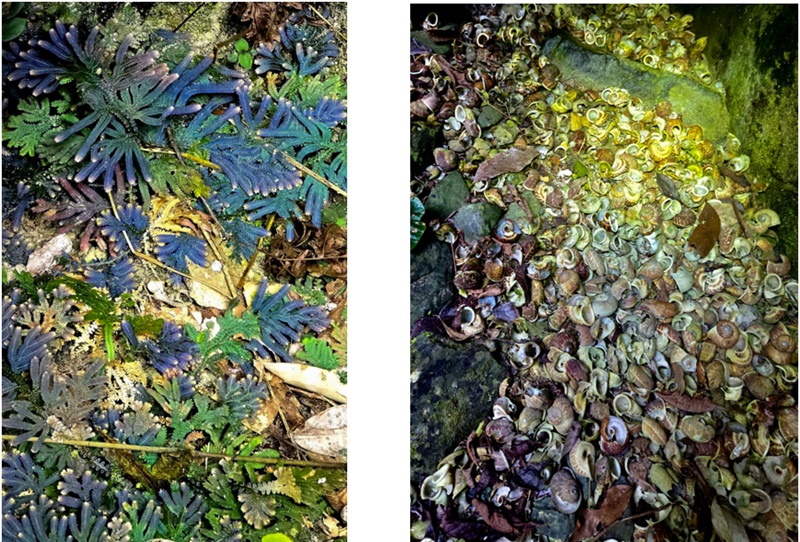
Traces of biological life
The field photographs document plants and snail shells within the survey area. These are preliminary biological observations; they are not sufficient to identify species composition or establish the structure of the ecosystem.
“A sinkhole is more than a void in limestone: it raises questions about geomorphological history, local microclimates and the development of living communities.”
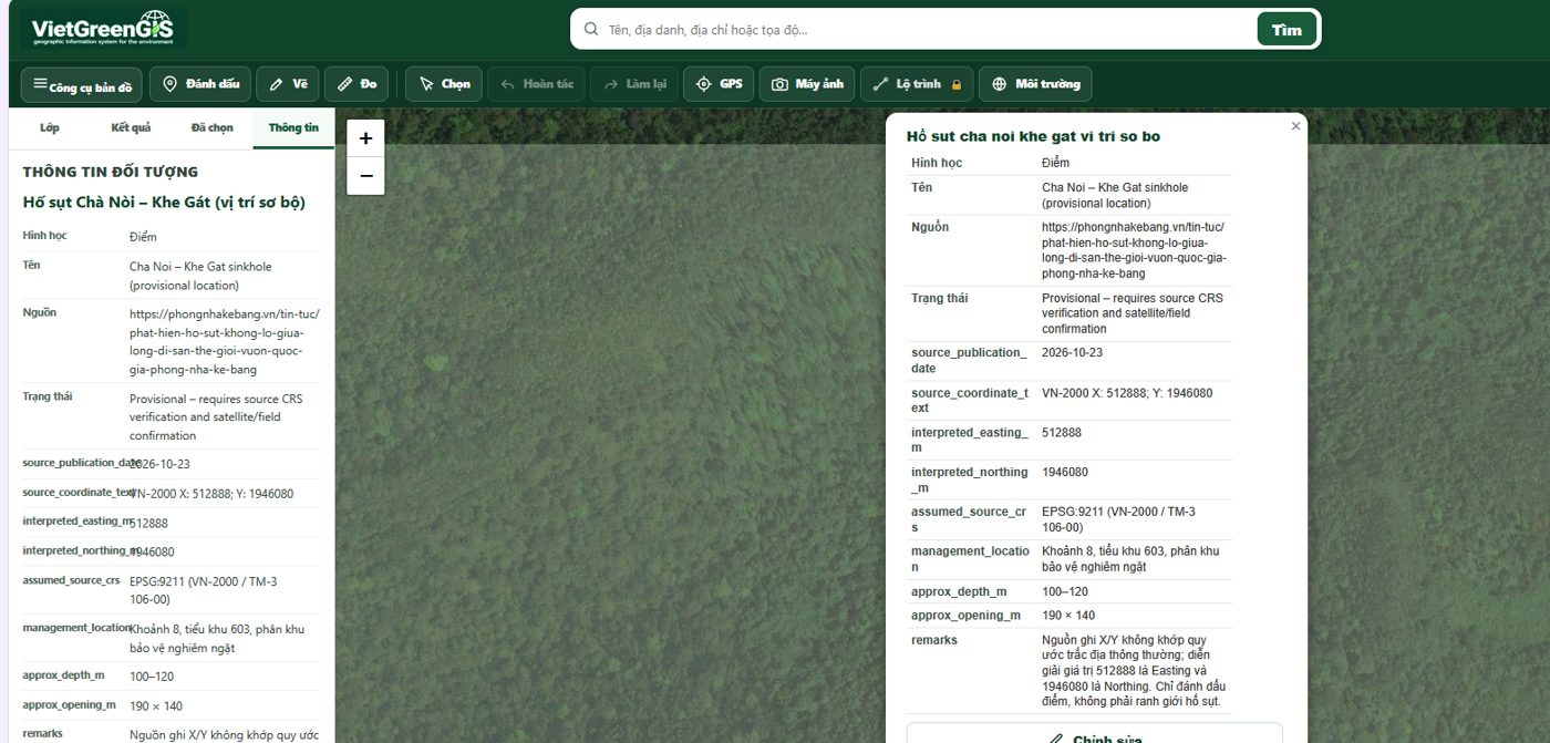
Locating the sinkhole on satellite imagery
A VietGreenGIS screenshot shows the provisional sinkhole point against satellite imagery, together with an information panel and coordinates reported in VN-2000 as X = 512888, Y = 1946080
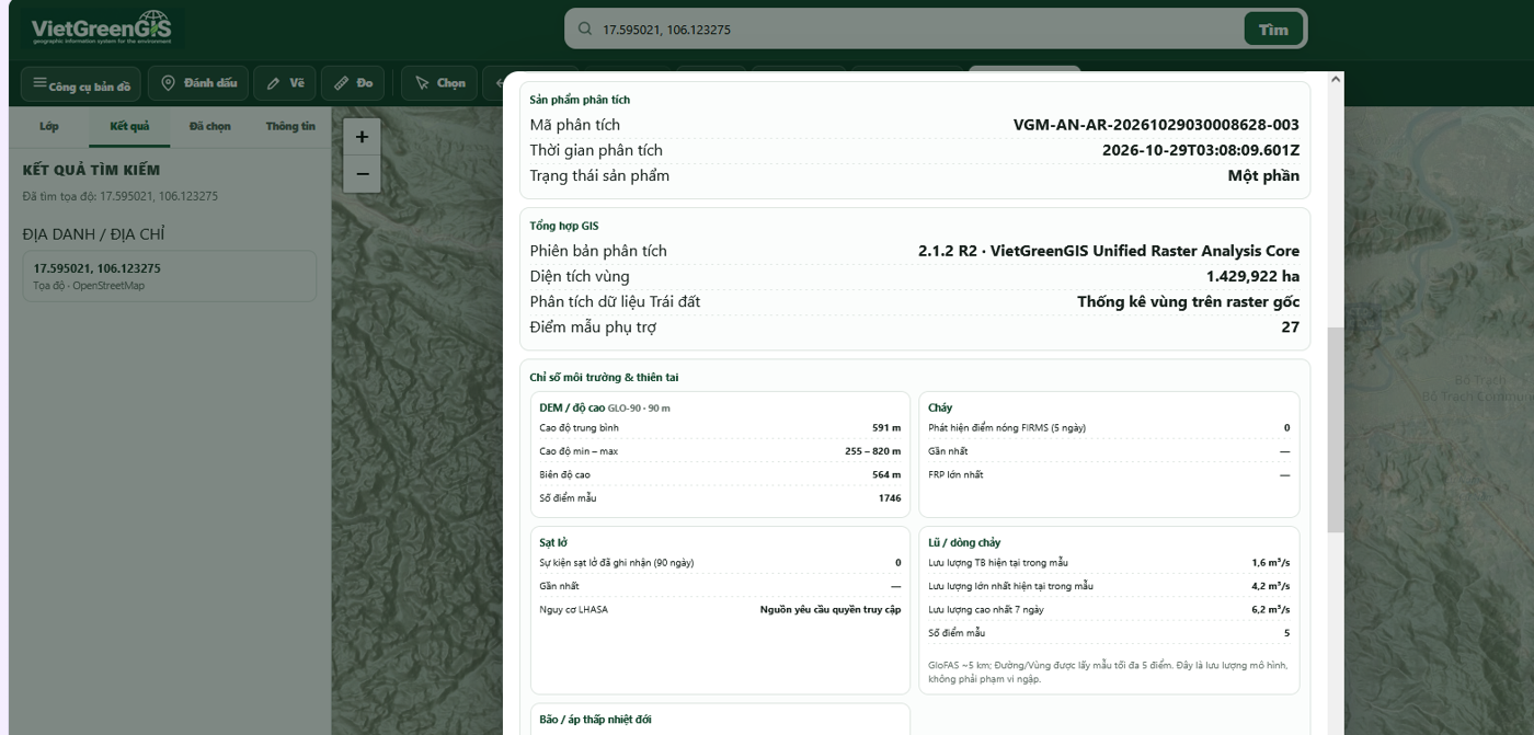
Terrain and survey-area indicators
The VietGreenGIS analysis summarises the study-area extent, elevation from the GLO-90 digital elevation model and environmental indicators used to characterise the natural setting around the sinkhole.
Environmental landscape
Study area: approximately 1,430 haScientific note: The VietGreenGIS indicators describe a wider survey area of approximately 1,430 ha, not just the 2.18 ha sinkhole opening. High NDVI and tree-cover values do not establish that the forest is primary or old-growth. The coordinates and sinkhole boundary still require verification in the field.